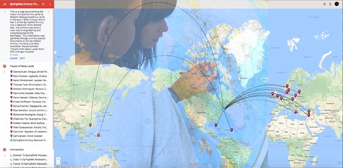
 I was thinking of ways to use Google’s My Maps feature with my sixth grade students, as a way to get them to play with mapmaking in connection to literature, and decided to use the travels of a character from the book Regarding the Fountain. Florence Waters travels the world, sending postcards, telegrams and other notes to a classroom in the book, which is very non-traditional in format.
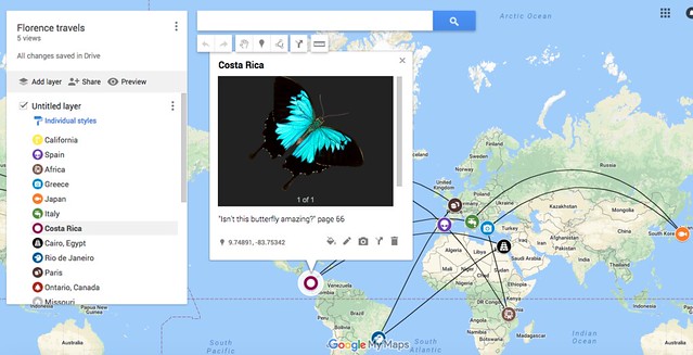
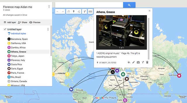
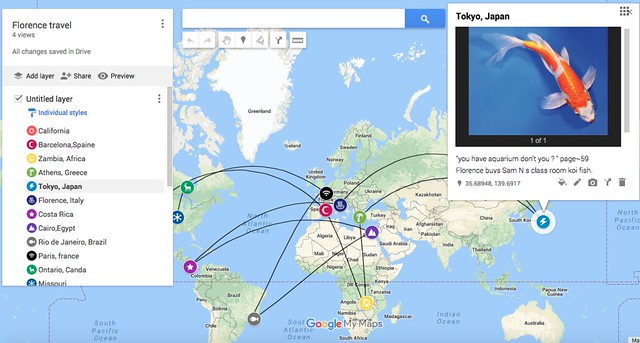
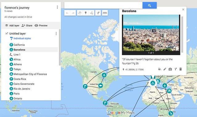
My students had to “pin” her locations around the world (there are more than a dozen places she travels), adding a quote from the book (with page number) and some sort of image to represent either gifts that Florence is mailing to the classroom in the novel, or a representation of the geographic place. (I saw a few students realize they could use animated gifs, which I should have shared out with everyone, giving the pins a little more life.)
Then, I had them calculate distance traveled throughout her entire journeys, using the line draw tool (which gives distance between points). I also showed them how to customize the pins, which many did to represent Florence in the world.
All in all, this was a very successful mapping project, and incorporated geography and math with literacy in a hands-in immersive way, and they were fully engaged in this work (which took longer than I expected to complete but well worth it.)
One change for the future: I should have had students estimate the total distance first, and then compare their calculations to the estimate. Why didn’t I think of that?
Peace (map it),
Kevin
PS – if you use Google Apps for Ed, like we do at our school, you may need to have the technology folks turn on Google maps in the student accounts. My Maps is not part of the walls of the traditional Google suite. We sent a notice home to families about the use of maps.